
Malavi
Premium eSIM planlarımızla anında mobil internet elde et. Fiziksel SIM karta gerek yok, tara ve git.
3Mevcut Paketler
MW 1 GB / 7 Days
4G/LTE
1 GB
Dahil veri
7 gun
Geçerlilik süresi
Ağ
MW 3 GB / 15 Days
4G/LTE
3 GB
Dahil veri
15 gun
Geçerlilik süresi
Ağ
MW 5 GB / 30 Days
4G/LTE
5 GB
Dahil veri
30 gun
Geçerlilik süresi
Ağ
Malavi Keşfet
Genel Bakış
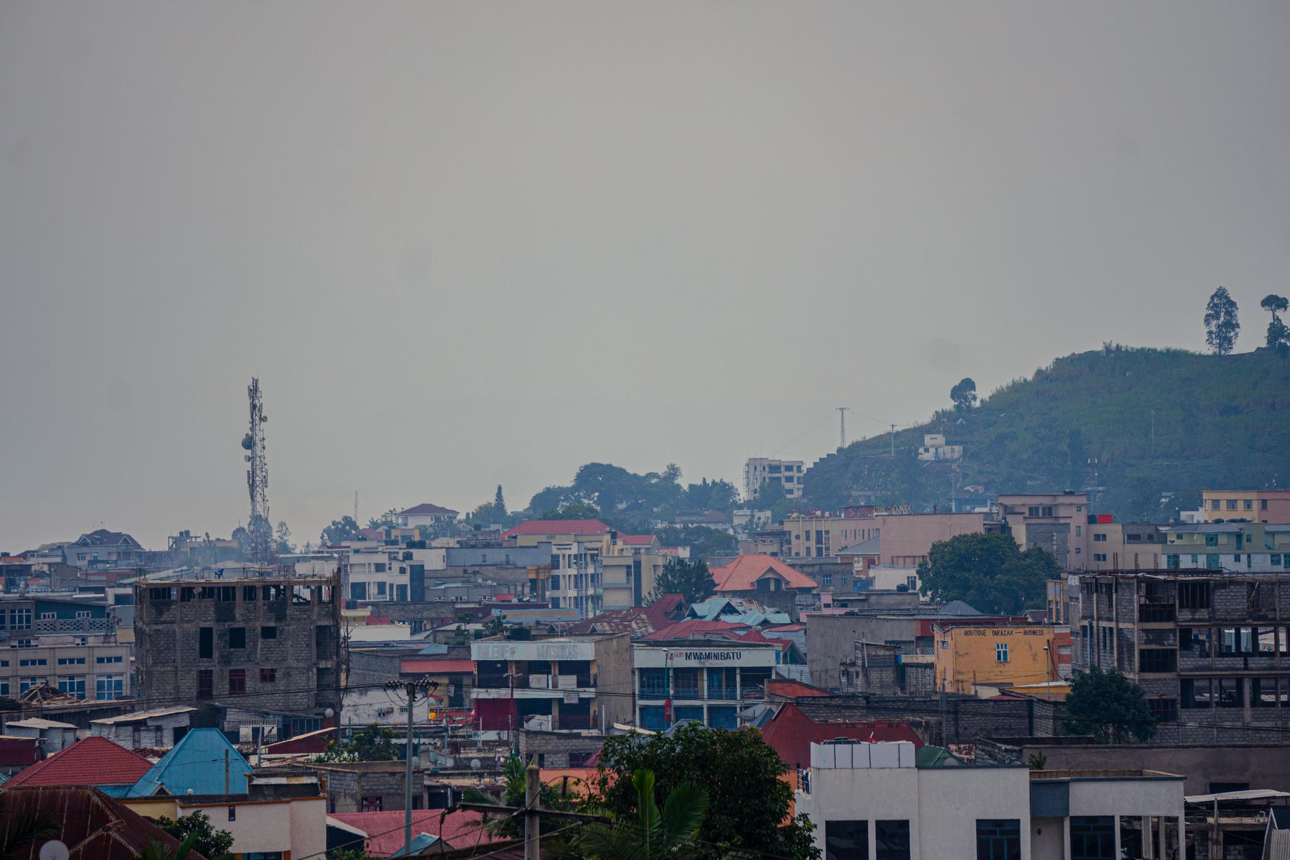
Malawi, officially the Republic of Malawi, is a landlocked country in Southeast Africa. It is bordered by Zambia to the west, Tanzania to the north and northeast, and Mozambique to the east, south, and southwest. Malawi spans over 118,484 km2 (45,747 sq mi) and has a population of 22,224,282. Lilongwe is its capital and largest city.
Wikipedia'da OkuSeyahat İpuçları
Malawi is a small, landlocked country in Africa whose eastern border mostly follows Lake Malawi, the third largest lake on the continent. It's described as the "Warm Heart of Africa", referring to the friendliness of the people.
Wikivoyage Seyahat RehberiVeriler Wikipedia, Wikivoyage & REST Countries'dan
Malavi'da Görülecek Yerler
Mutlaka görülmesi gereken yerler ve simgeler
 Archaeological museums
Cultural and Museum Centre Karonga
The Cultural & Museum Centre Karonga (CMCK), commonly called Karonga Museum, is a cultural centre and museum in Karonga District, northern Malawi.The Karonga Museum was officially opened by then President Bingu wa Mutharika in November 2004The Centre's mission is to preserve and promote Karonga's na…
 Nature
Niassa National Reserve
Niassa Reserve is a nature reserve in Cabo Delgado Province and Niassa Province, Mozambique. Covering over 42,000 square kilometres (10,000,000 acres), it is the largest protected area in the country.
 Urban
UrbanLiwonde National Park
Liwonde National Park, also known as Liwonde Wildlife Reserve, is a national park in southern Malawi, near the Mozambique border. The park was established in 1973, and has been managed by the nonprofit conservation organization African Parks since August 2015.
 Urban
UrbanKasungu National Park
Kasungu National Park is a national park in Malawi. It is located west of Kasungu, about 175 km north of Lilongwe, extending along the Zambian border.Kasungu National Park, established in 1970, is the second-largest in Malawi at 2,316 square kilometres (894 sq mi), with an elevation of approximately…
 Other
OtherEastern miombo woodlands
The Eastern miombo woodlands (AT0706) are an ecoregion of grassland and woodland in northern Mozambique, southern Tanzania, and southeastern Malawi.
 Urban
UrbanNyanga National Park Office
Nyanga National Park lies in the north of Zimbabwe's Eastern Highlands. One of the first national parks to be declared in the country, it contains the highest land in Zimbabwe, with green hills and perennial rivers.
 Mountain peaks
Mount Nyangani
Mount Nyangani (formerly Mount Inyangani) is the highest mountain in Zimbabwe at 2,592 m (8,504 ft). The mountain is located within Nyanga National Park in Nyanga District, is about 110 km (68 mi) North West Mutare. The summit lies atop a small outcrop of rock around 40m above the surrounding area.
 Nature
Lower Zambezi National Park
The Lower Zambezi National Park lies on the north bank of the Zambezi River in southeastern Zambia. Until 1983 when the area was declared a national park, the area was the private game reserve of Zambia's president.
 Mountain peaks
Mafinga Central
Mafinga Central is the highest point in the Mafinga Hills on the border of Zambia and Malawi. At 2,339-metre (7,674 ft) it is likely to be the highest mountain in Zambia. It is most easily accessed from the town of Chisenga in Malawi.
 Historic
Chambeshi Monument
The Chambeshi Monument, in the Northern Province of Zambia, also called the Chambeshi Memorial and the Lettow-Vorbeck Memorial, commemorates the final cessation of hostilities of the First World War, three days after the Armistice in Europe.The monument bears a plaque which reads:"On this spot at 7.…
 Mountain peaks
Chambe
Chambe Peak is a peak of Mulanje Massif, the highest mountain in Central Africa. A steep path provides a great view across Southern Malawi and Mozambique on a clear day.
 Nature
South Luangwa National Park
South Luangwa National Park in eastern Zambia, the southernmost of three national parks in the valley of the Luangwa River. It, is a world-renowned wildlife haven.
Veriler OpenTripMap & OpenStreetMap'ten
Yakın destinasyonları keşfedin
Aynı bölgedeki popüler eSIM planları


Neden Bizim eSIMimizi Seçmelisin?
Anında Aktivasyon
Satın aldıktan hemen sonra eSIM QR kodunu al.
Bağlı Kal
Yerel ağlarda yüksek hızlı veri.
Gizli Ücret Yok
Şeffaf fiyatlandırma. Sürpriz yok.