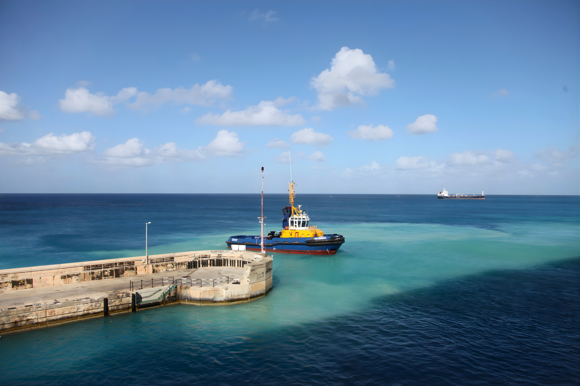

Barbados
Premium eSIM planlarımızla anında mobil internet elde et. Fiziksel SIM karta gerek yok, tara ve git.
5Mevcut Paketler
BB 1 GB / 7 Days
4G/LTE
1 GB
Dahil veri
7 gun
Geçerlilik süresi
Ağ
BB 3 GB / 30 Days
4G/LTE
3 GB
Dahil veri
30 gun
Geçerlilik süresi
Ağ
BB 5 GB / 30 Days
4G/LTE
5 GB
Dahil veri
30 gun
Geçerlilik süresi
Ağ
BB 10 GB / 30 Days
4G/LTE
10 GB
Dahil veri
30 gun
Geçerlilik süresi
Ağ
BB 20 GB / 30 Days
4G/LTE
20 GB
Dahil veri
30 gun
Geçerlilik süresi
Ağ
Barbados Keşfet
Genel Bakış
Barbados is an island nation in the Caribbean located in the Atlantic Ocean. It is part of the Lesser Antilles of the West Indies and is the southern and easternmost island of the Caribbean region. It lies on the boundary of the South American and Caribbean plates. Its capital and largest city is Bridgetown.
Wikipedia'da OkuSeyahat İpuçları
Barbados is an island in the Caribbean region, but which lies out in the Atlantic many miles east of the Caribbean Sea. Its nearest neighbours 100 miles west are Saint Vincent and Saint Lucia, part of the arc of the Lesser Antilles that separate Atlantic and Caribbean. Those islands are a partly-submerged chain of mountains. By contrast Barbados has formed from deposits of coral and has a gentler landscape. It's fertile, and is sometimes called "Bimshire" or the "Little Britain" of the Caribbean because of its long and uniquely unbroken history of British colonisation and settlement.
Wikivoyage Seyahat RehberiVeriler Wikipedia, Wikivoyage & REST Countries'dan
Barbados'da Görülecek Yerler
Mutlaka görülmesi gereken yerler ve simgeler
 Aquatic protected areas
Caroni Swamp
The Caroni Swamp is the second largest mangrove wetland in Trinidad and Tobago. It is located on the west coast of Trinidad, south of Port of Spain and northwest of Chaguanas, where the Caroni River meets the Gulf of Paria.
 Factories
Château Dubuc
 Water
WaterPitch Lake
The Pitch Lake is the largest natural deposit of asphalt in the world, estimated to contain 10 million tons. It is located in La Brea in southwest Trinidad, within the Siparia Regional Corporation.
 Architecture
Théâtre de Saint-Pierre
The Théâtre de Saint-Pierre, also known as La Comédie, was a theater in Saint-Pierre, Martinique, active from 1786 to 1902. It was a famous center of culture in the West Indies for over a century.
 Islands
Grenadines
The Grenadines are a chain of small islands that lie on a line between the larger islands of Saint Vincent and Grenada in the Lesser Antilles.
 Mountain peaks
La Soufriere Peak
La Soufrière or Soufrière Saint Vincent (French pronunciation: [sufʁjɛʁ sɛ̃ vɛ̃sɑ̃]) is an active stratovolcano on the Caribbean island of Saint Vincent in Saint Vincent and the Grenadines. It is the highest peak in Saint Vincent, and has had five recorded explosive eruptions since 1718.
 Historic architecture
Graeme Hall Nature Sanctuary
Graeme Hall Nature Sanctuary occupies 42 per cent of the Ramsar wetland at Graeme Hall, in Christ Church, Barbados. It is owned by Peter Allard, a Canadian investor and philanthropist. In late 2011 he was named Queen's Counsel by the province of British Columbia.
 Historic
Garrison Historic Area
St. Ann's Garrison, or more commonly known as "The Garrison", is a small district located in the country of Barbados. This Garrison Historic Area is situated about 2 miles south of Heroes Square in the capital-city Bridgetown, and just west of the village of Hastings in the neighbouring parish of Ch…
Veriler OpenTripMap & OpenStreetMap'ten
Yakın destinasyonları keşfedin
Aynı bölgedeki popüler eSIM planları


Neden Bizim eSIMimizi Seçmelisin?
Anında Aktivasyon
Satın aldıktan hemen sonra eSIM QR kodunu al.
Bağlı Kal
Yerel ağlarda yüksek hızlı veri.
Gizli Ücret Yok
Şeffaf fiyatlandırma. Sürpriz yok.