
Lesotho
Get instant mobile data with our premium eSIM plans. No physical SIM needed, just scan and go.
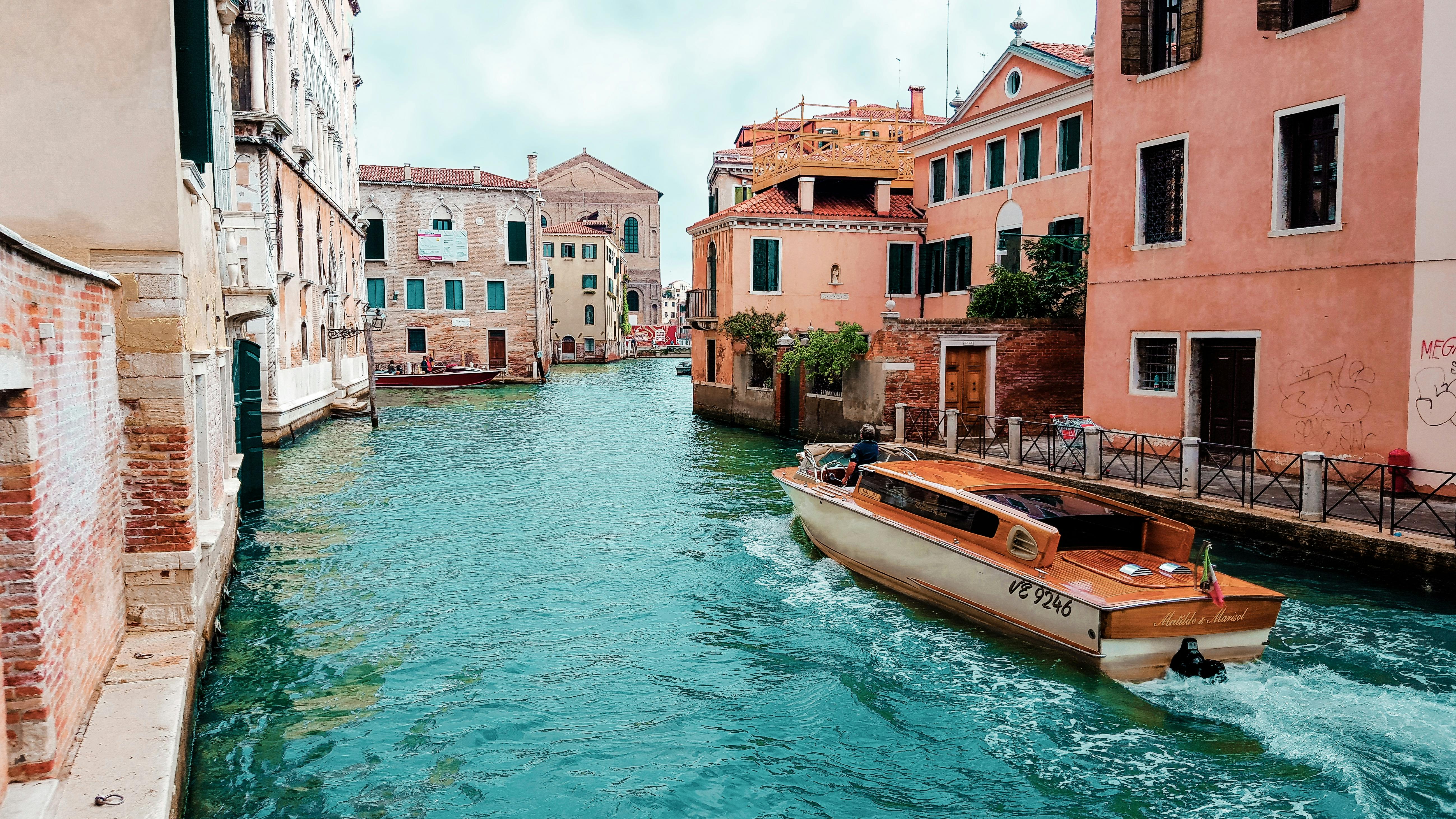
Discover Lesotho
Overview
Lesotho, officially the Kingdom of Lesotho, is a landlocked country in Southern Africa. Surrounded by South Africa, it is the largest of the only three sovereign enclaves. Lesotho is located in the Maloti Mountains, with the highest peak in southern Africa. It has an area of over 30,000 km2 (11,600 mi2), with a population of about 2.3 million. Its capital and largest city is Maseru.
Read on WikipediaTravel Tips
Lesotho is a small landlocked country entirely surrounded by South Africa. It is known as the "Kingdom in the Sky" because the entire country is at a high altitude. Its lowest point is 1,388 m (4,554 ft) above sea level; no other country in the world has its lowest point above 1,000 m (3,300 ft). Lesotho is a fantastic adventure holiday destination because of its smiling and resourceful people and bracing climate.
Travel Guide on WikivoyageData from Wikipedia, Wikivoyage & REST Countries
Top Attractions in Lesotho
Must-visit places and landmarks
 Historic
Battle of Magersfontein
The Battle of Magersfontein ( MAH-khərss-fon-tayn) was fought on 11 December 1899, at Magersfontein, near Kimberley, South Africa, on the borders of the Cape Colony and the independent republic of the Orange Free State.
 Landmark
Oviston Nature Reserve
Oviston Nature Reserve is a protected area in the Eastern Cape Province, South Africa. The nature reserve is managed by Eastern Cape Parks. It is located on the southern shores of the Gariep Dam.
 Mountain peaks
Prentjiesberg
Prentjiesberg is an outlier mountain of the Drakensberg in the Eastern Cape Province of South Africa, at about 2000 m above sea level and some 10 km north-west of the town of Ugie, near the southern tip of the mountain kingdom of Lesotho.
 Mountain peaks
Spioenkop
Spion Kop (Afrikaans: Spioenkop, Afrikaans pronunciation: [spiˈunkɔp]) is a mountain in the province of KwaZulu-Natal, South Africa.
 Battlefields
Battle of Spion Kop
The Battle of Spion Kop (Dutch: Slag bij Spionkop; Afrikaans: Slag van Spioenkop) was a military engagement between British forces and two Boer Republics—the South African Republic and the Orange Free State—during the campaign by the British to relieve the besieged city Ladysmith during the init…
 Battlefields
Battle of Poplar Grove
The Battle of Poplar Grove was an incident on 7 March 1900 during the Second Boer War in South Africa. It followed on from the Relief of Kimberley as the British Army moved to take the Boer capital of Bloemfontein.
 Battlefields
Battle of Vegkop
The Battle of Vegkop, alternatively spelt as Vechtkop, took place on 16 October 1836 near the present day town of Heilbron, Free State, South Africa. After an impi of about 600 Matebele murdered 15 to 17 Afrikaner voortrekkers on the Vaal River, abducting three children, King Mzilikazi (c.
 Park
ParkRoyal Natal National Park
Royal Natal National Park is a 80.94-square-kilometre (31.25 sq mi) park in KwaZulu-Natal province, South Africa and forms part of the uKhahlamba Drakensberg Park World Heritage Site.
 Mountain peaks
Eastern Buttress
 Mountain peaks
Ben Macdhui
Ben Macdhui (also spelled Ben Macdui) is a 3,001-metre (9,846 ft) mountain in the Eastern Cape province of South Africa. It was named after Ben Macdui in Scotland.
 Water
WaterTugela Falls
Tugela Falls is a complex of seasonal waterfalls located in the Drakensberg (Dragon's Mountains) of Royal Natal National Park in KwaZulu-Natal Province, Republic of South Africa.
 Mountain peaks
Mont-Aux-Sources
Mont-aux-Sources is a mountain in Southern Africa, forming one of the highest portions of the Drakensberg Range. It is mostly within Lesotho, with parts in the KwaZulu-Natal and Free State provinces of South Africa.The peak is accessible from the Sentinel Car Park near Witsieshoek, via chain ladders…
Attraction data from OpenTripMap & OpenStreetMap
Explore Nearby Destinations
Popular eSIM plans in the same region


Why Choose Our eSIM?
Instant Activation
Get your eSIM QR code instantly after purchase.
Stay Connected
High-speed data on local networks.
No Hidden Fees
Transparent pricing. No surprises.