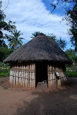
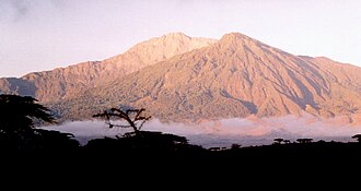
Mountain peaks
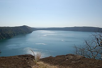
Lake Ngozi
Lake Ngozi
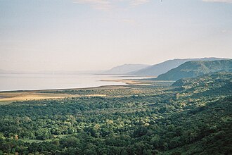
Lake Ngozi (or Lake Ngosi) is the second largest crater lake in Africa. It can be found near Tukuyu, a small town in the highland Rungwe District, Mbeya Region, of southern Tanzania in East Africa.
Lexo në Wikipedia