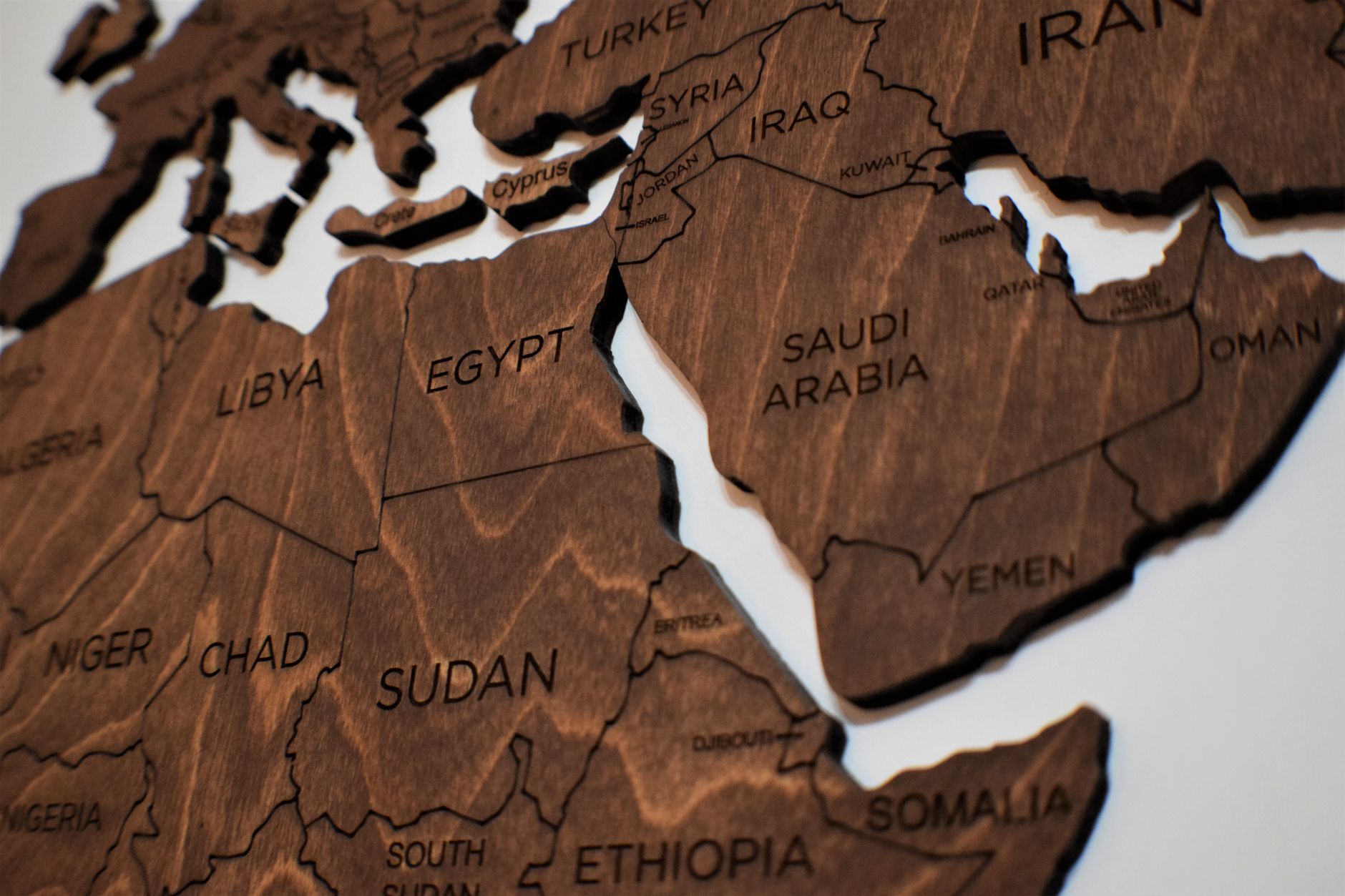

Tschad
Hol dir sofortiges mobiles Datenvolumen mit unseren Premium-eSIM-Plänen. Keine physische SIM-Karte nötig, einfach scannen und loslegen.
4Verfügbare Pakete
TD 1 GB / 7 Days
4G/LTE
1 GB
Daten inklusive
7 Tage
Gültigkeitsdauer
Netzwerk
TD 3 GB / 30 Days
4G/LTE
3 GB
Daten inklusive
30 Tage
Gültigkeitsdauer
Netzwerk
TD 5 GB / 30 Days
4G/LTE
5 GB
Daten inklusive
30 Tage
Gültigkeitsdauer
Netzwerk
TD 10 GB / 30 Days
4G/LTE
10 GB
Daten inklusive
30 Tage
Gültigkeitsdauer
Netzwerk
Entdecke Tschad
Überblick
Chad, officially the Republic of Chad, is a country in Central Africa. It is bordered by Libya to the north, Sudan to the east, the Central African Republic to the south, Cameroon to the southwest, Nigeria to the southwest, and Niger to the west. Chad has a population of 20 million, of which 1.6 million live in the capital and largest city of N'Djamena.
Auf Wikipedia lesenReisetipps
Chad is a landlocked country situated in the centre of Africa. Chad is home to more than 200 different ethnic groups and there are national parks, desert lakes, sand dunes, canyons and camel caravans that will interest the daring and adventurous.
Reiseführer auf WikivoyageDaten von Wikipedia, Wikivoyage & REST Countries
Top-Sehenswürdigkeiten in Tschad
Orte und Wahrzeichen, die man gesehen haben muss
 Religious Site
Mutter Gottes von den Engeln
 Landmark
Bénoué National Park
Bénoué National Park is a national park of Cameroon and a UNESCO designated Biosphere Reserve. It is 180,000 ha (440,000 acres) in size. The park has a wide frontage to the Bénoué River, which stretches for over 100 km (62 mi), forming the eastern boundary.
 Battlefields
Battle of Kousséri
The battle of Kousséri originated in French plans to occupy the Chari-Baguirmi region. In 1899–1900, the French organized three armed columns, one proceeding north from Congo, one east from Niger and another south from Algeria.
 Landmark
Bouba Njida National Park
Bouba Njida National Park is a national park of Cameroon. A total of 23 antelope species occur in the park. The painted hunting dog, Lycaon pictus, had been observed in Bouba Njida National Park at the start of the 21st century.
 Water
WaterLake Fitri
Lake Fitri is located in the center of Chad about 300 km east of N’Djamena. The normal size of the lake is about 50,000 hectares (120,000 acres). The size of this lake can triple in wetter years.
 Historic
Bidzar
Bidzar is an archaeological site 20 kilometres (12 mi) from Guider, Cameroon, featuring petroglyphs between 3000 and 300 years old.
 Other
OtherSukur
Sukur or Sukur Cultural Landscape is a UNESCO World Heritage Site located on a hill above the village of Sukur in the Adamawa State of Nigeria. It is situated in the Mandara Mountains, close to the border with Cameroon.
 Water
WaterLake Chad
Lake Chad (French: Lac Tchad) is a historically large, shallow, endorheic lake in Central Africa, which has varied in size over the centuries. According to the Global Resource Information Database of the United Nations Environment Programme, it shrank by as much as 95% from about 1963 to 1998.
 Nature
Waza National Park
Waza National Park is a national park in the Department of Logone-et-Chari, in Far North Region, Cameroon. It was founded in 1934 as a hunting reserve, and covers a total of 1,700 km2 (660 sq mi). Waza achieved national park status in 1968, and became a UNESCO biosphere reserve in 1979.
 Battlefields
Second Battle of Garua
The Second Battle of Garua took place from 31 May to 10 June 1915 during the Kamerun campaign of the First World War in Garua, German Kamerun. The battle was between a combined French and British force and defending German garrison and resulted in an Allied victory.
 Battlefields
First Battle of Garua
The First Battle of Garua took place from 29 to 31 August 1914 during the Kamerun Campaign of the First World War between German and invading British forces in northern Kamerun at Garua.
 Nature
Sambisa Game Reserve
The Sambisa Forest is a forest in Borno State, northeast Nigeria. It is in the southwestern part of Chad Basin National Park, about 60 kilometres (37 mi) southeast of Maiduguri, the capital of Borno State.
Daten von OpenTripMap & OpenStreetMap
Entdecken Sie nahegelegene Ziele
Beliebte eSIM-Tarife in der gleichen Region


Warum unsere eSIM wählen?
Sofortige Aktivierung
Erhalte deinen eSIM QR-Code sofort nach dem Kauf.
Bleib verbunden
Highspeed-Daten in lokalen Netzwerken.
Keine versteckten Gebühren
Transparente Preise. Keine Überraschungen.