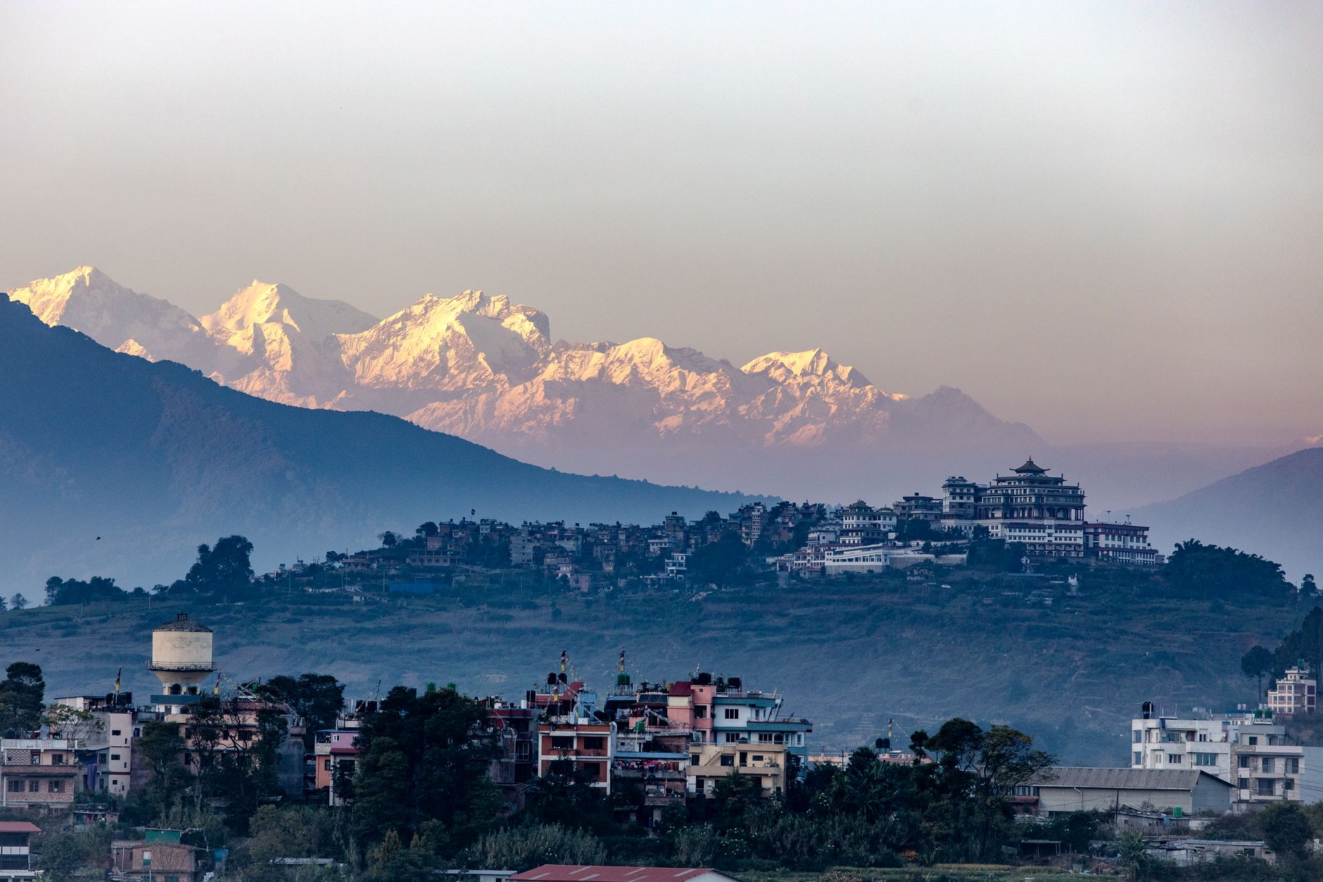

Nepal
Hol dir sofortiges mobiles Datenvolumen mit unseren Premium-eSIM-Plänen. Keine physische SIM-Karte nötig, einfach scannen und loslegen.
5Verfügbare Pakete
NP 1 GB / 7 Days
4G/LTE
1 GB
Daten inklusive
7 Tage
Gültigkeitsdauer
Netzwerk
NP 3 GB / 30 Days
4G/LTE
3 GB
Daten inklusive
30 Tage
Gültigkeitsdauer
Netzwerk
NP 5 GB / 30 Days
4G/LTE
5 GB
Daten inklusive
30 Tage
Gültigkeitsdauer
Netzwerk
NP 10 GB / 30 Days
4G/LTE
10 GB
Daten inklusive
30 Tage
Gültigkeitsdauer
Netzwerk
NP 20 GB / 30 Days
4G/LTE
20 GB
Daten inklusive
30 Tage
Gültigkeitsdauer
Netzwerk
Entdecke Nepal
Überblick
Nepal, officially the Federal Democratic Republic of Nepal, is a landlocked country in South Asia. It is mainly situated in the Himalayas, but also includes parts of the Indo-Gangetic Plain. It borders the Tibet Autonomous Region of China to the north, and India to the south, east, and west, while it is narrowly separated from Bangladesh by the Siliguri Corridor, and from Bhutan by the Indian state of Sikkim.
Auf Wikipedia lesenReisetipps
Nepal is a landlocked country in the Himalayas of South Asia. It has eight of the world's 10 highest peaks, including Mount Everest, the world's tallest, on the border with Tibet, as well as Lumbini, the birthplace of Gautama Buddha, the founder of Buddhism. Originally a monarchy for two centuries, Nepal has been ruled under a republic since 2008.
Reiseführer auf WikivoyageDaten von Wikipedia, Wikivoyage & REST Countries
Top-Sehenswürdigkeiten in Nepal
Orte und Wahrzeichen, die man gesehen haben muss
 Mountain peaks
Loenpo Gang
 Religious Site
Thrangu Tashi Yangtse Monastery
The Thrangu Tashi Yangtse Monastery is a Tibetan Buddhist monastery about 40 km (by road) southeast of Nepal's capital city Kathmandu and 2.3km from Manegaun, a Tamang village. It lies at the top of the hill in Namobuddha Municipality. It is one of the most beautiful and a center for tourism.
 Religious Site
Chandeshwari Temple Premises
Chandeshwari is the avatar taken by Hindu goddess Kumari of Hindu. The 'Nepal Mahatmya' of Skanda Purana mentions the story related to goddess Chandeshwari.Along Arniko Highway 5 kilometers before Dhulikhel is the town of Banepa, Nepal.
 Religious Site
Dakshinkali Temple
Dakshin kali Temple, also Dakshina Kali Temple, located 22 kilometres (14 mi) outside Kathmandu and about 1 kilometre (0.6 mi) outside the village of Pharping, is one of the major Hindu temples in Nepal dedicated to the goddess Kali.
 Viewpoint
Kopan monastery
Kopan Monastery is a Tibetan Buddhist monastery near Boudhanath, on the outskirts of Kathmandu, Nepal. It is a member of the Foundation for the Preservation of the Mahayana Tradition (FPMT), an international network of Gelugpa dharma centers, and once served as its headquarters.The monastery was est…
 Religious Site
Taleju Temple
Taleju Temple is a Hindu temple dedicated to Taleju Bhawani, the royal goddess of the Malla dynasty of Nepal. It was built in 1564 by Mahendra Malla and is located in Hanuman Dhoka, Kathmandu Durbar Square, a UNESCO Heritage site.
 Urban
UrbanRatna Park
Ratna Park is a park and surrounding district in central Kathmandu, Nepal. It is named after Queen Ratna, the wife of King Mahendra. It was built for the children and is named after Ratna, the second queen of King Mahendra. It is situated between Rani Pokhari and Tudikhel in the heart of Kathmandu.
 Religious Site
Nyatapola Temple
Nyatapola Temple (Nepal Bhasa: 𑐒𑐵𑐟𑐵𑐥𑑀𑐮𑑃/ 𑐒𑐵𑐟𑐵𑐥𑑀𑐮𑑂𑐴𑑃 ,Devanagari Alphabet:ङातापोलँ where: Nyata "ङाता"= 5 Storeys " पाँच तल्ला & Pola "पोलँ" = Roof "छाना")is a five-stories Pagoda tem…
 Religious Site
Sheshnarayan Temple
The Sheshnarayan Temple is an ancient Hindu temple complex in Sheshnarayan Village Development Committee (VDC). The site is near the ancient town of Pharping, which lies approximately 20 kilometers south-west of Kathmandu, Nepal.The temple is one of the four Narayana temples of the Kathmandu Valley…
 Park
ParkShivapuri Nagarjun National Park
Shivapuri Nagarjun National Park is the ninth national park in Nepal and was established in 2002. It is located in the country's mid-hills on the northern fringe of the Kathmandu Valley and named after Shivapuri Peak of 2,732 m (8,963 ft) altitude.
 Religious Site
Karya Binayak Temple
Karya Binayak (कार्यविनायक मन्दिर) is a Hindu temple located in Bungamati, Lalitpur District at about 10 kilometres south of Kathmandu.Information related to Karya Binayak Temple. Information about Karya Binayak Temple.
 Religious Site
Budhanilkantha
Budhanilkantha Temple, located in Budhanilkantha, Nepal, (Nepali: बुढानिलकण्ठ मन्दिर; translation: Old Blue Throat) is a Hindu open air temple dedicated to Lord Mahavishnu.
Daten von OpenTripMap & OpenStreetMap
Entdecken Sie nahegelegene Ziele
Beliebte eSIM-Tarife in der gleichen Region


Warum unsere eSIM wählen?
Sofortige Aktivierung
Erhalte deinen eSIM QR-Code sofort nach dem Kauf.
Bleib verbunden
Highspeed-Daten in lokalen Netzwerken.
Keine versteckten Gebühren
Transparente Preise. Keine Überraschungen.