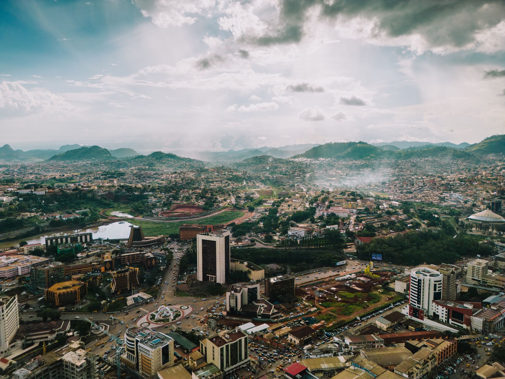

Kamerun
Hol dir sofortiges mobiles Datenvolumen mit unseren Premium-eSIM-Plänen. Keine physische SIM-Karte nötig, einfach scannen und loslegen.
5Verfügbare Pakete
CM 1 GB / 7 Days
4G/LTE
1 GB
Daten inklusive
7 Tage
Gültigkeitsdauer
Netzwerk
CM 3 GB / 30 Days
4G/LTE
3 GB
Daten inklusive
30 Tage
Gültigkeitsdauer
Netzwerk
CM 5 GB / 30 Days
4G/LTE
5 GB
Daten inklusive
30 Tage
Gültigkeitsdauer
Netzwerk
CM 10 GB / 30 Days
4G/LTE
10 GB
Daten inklusive
30 Tage
Gültigkeitsdauer
Netzwerk
CM 20 GB / 30 Days
4G/LTE
20 GB
Daten inklusive
30 Tage
Gültigkeitsdauer
Netzwerk
Entdecke Kamerun
Überblick
Cameroon, officially the Republic of Cameroon, is a country in Central Africa. It shares boundaries with Nigeria to the west and north, Chad to the northeast, the Central African Republic to the east, and Equatorial Guinea, Gabon, and the Republic of the Congo to the south. Its coastline lies on the Bight of Biafra, part of the Gulf of Guinea, and the Atlantic Ocean.
Auf Wikipedia lesenReisetipps
Cameroon is a country in Central Africa. Known as "Africa in miniature", the country is known for its geological, linguistic, artistic, and cultural diversity: some 250 languages are spoken in this mid-sized country. Cameroon was colonised by three European countries — Germany, France, and the United Kingdom.
Reiseführer auf WikivoyageDaten von Wikipedia, Wikivoyage & REST Countries
Top-Sehenswürdigkeiten in Kamerun
Orte und Wahrzeichen, die man gesehen haben muss
 Nature
Luba Crater Scientific Reserve
The Gran Caldera de Luba Scientific Reserve (Spanish: Reserva Científica de la Gran Caldera de Luba) is a protected area of 51,000 hectares (130,000 acres) on the volcanic island of Bioko (formerly called Fernando Pó), a part of Equatorial Guinea.
 Crater lakes
Lake Dissoni
Lake Dissoni, also known as Lake Soden, is a small lake in the volcanic chain in the Southwest Region of Cameroon. This volcanic lake has diameter of about 1.25 km (0.78 mi) and is at the southeastern foot of the Rumpi Hills.There are only three fish species in the lake, but all these are endemic: A…
 Mountain peaks
Mount Cameroon
Mount Cameroon is an active volcano in the South West region of Cameroon next to the city of Buea near the Gulf of Guinea. Mount Cameroon is also known as Cameroon Mountain or Fako (the name of the higher of its two peaks) or by its indigenous name Mongo ma Ndemi ("Mountain of Greatness").
Crater lakesLake Barombi Koto
Lake Barombi Koto, also known as Lake Barombi Kotto or Lake Barombi-ba-Kotto, is a small lake in the volcanic chain in the Southwest Region of Cameroon. It is a volcanic lake with a diameter of about 1.2 km (0.75 mi).
 Religious Site
Basilica of the Immaculate Conception, Mongomo
The Basilica of the Immaculate Conception (Spanish: Basílica de la Inmaculada Concepción de Mongomo or Basilica de Mongomo) is a Roman Catholic basilica, built in the province of Mongomo in the African country of Equatorial Guinea.
 Other
OtherCameroonian Highlands forests
The Cameroonian Highlands forests, also known as the Cameroon Highlands forests, are a montane tropical moist broadleaf forest ecoregion located on the range of mountains that runs inland from the Gulf of Guinea and forms the border between Cameroon and Nigeria.
 Mountain peaks
Mount Manenguba
Mount Muanenguba (also spelled Manenguba or Mwanenguba) is a volcano in the Southwest Province of Cameroon. The Manenguba shrew and endemic vegetal species are native to the mountain.
 Mountain peaks
Mount Kupe
Mount Kupe or Mont Koupé is a plutonic mountain in the Western High Plateau of Cameroon, part of the Cameroon line of volcanoes. It is the highest of the Bakossi mountains, rising to 2,064 metres (6,772 ft).
 Mountain peaks
Don i tison
Don i tison (from Bafia: Town-hill) is the southernmost peak of a mountainous ridge west of the Cameroonian city of Bafia. The nearest populated place is Gouife.In the figurative sense Don i Tison means populated peak.
 Waterfalls
Chutes de Bamena
 Historic
Le Chef Nanga Eboko
Nanga Eboko (Nanga-Eboko) is a town and municipality, capital of the Haute-Sanaga (Upper Sanaga) department in the Centre Province of Cameroon.
 Religious Site
Roman Catholic Diocese of Edéa
The Roman Catholic Diocese of Edéa (Latin: Edean(us)) is a diocese located in the city of Edéa in the Ecclesiastical province of Douala in Cameroon.March 22, 1993: Established as Diocese of Edéa from the Metropolitan Archdiocese of DoualaBishops of Edéa (Roman rite), in reverse chronological ord…
Daten von OpenTripMap & OpenStreetMap
Entdecken Sie nahegelegene Ziele
Beliebte eSIM-Tarife in der gleichen Region


Warum unsere eSIM wählen?
Sofortige Aktivierung
Erhalte deinen eSIM QR-Code sofort nach dem Kauf.
Bleib verbunden
Highspeed-Daten in lokalen Netzwerken.
Keine versteckten Gebühren
Transparente Preise. Keine Überraschungen.