Island
Hol dir sofortiges mobiles Datenvolumen mit unseren Premium-eSIM-Plänen. Keine physische SIM-Karte nötig, einfach scannen und loslegen.
7Verfügbare Pakete
Iceland 1GB 7Days
5G
1 GB
Daten inklusive
7 Tage
Gültigkeitsdauer
Netzwerke
Iceland 3GB 15Days
5G
3 GB
Daten inklusive
15 Tage
Gültigkeitsdauer
Netzwerke
Iceland 3GB 30Days
5G
3 GB
Daten inklusive
30 Tage
Gültigkeitsdauer
Netzwerke
Iceland 5GB 30Days
5G
5 GB
Daten inklusive
30 Tage
Gültigkeitsdauer
Netzwerke
Iceland 10GB 30Days
5G
10 GB
Daten inklusive
30 Tage
Gültigkeitsdauer
Netzwerke
Iceland 20GB 30Days
5G
20 GB
Daten inklusive
30 Tage
Gültigkeitsdauer
Netzwerke
Iceland 50GB 30Days
4G/LTE
50 GB
Daten inklusive
30 Tage
Gültigkeitsdauer
Netzwerke
Entdecke Island
Überblick
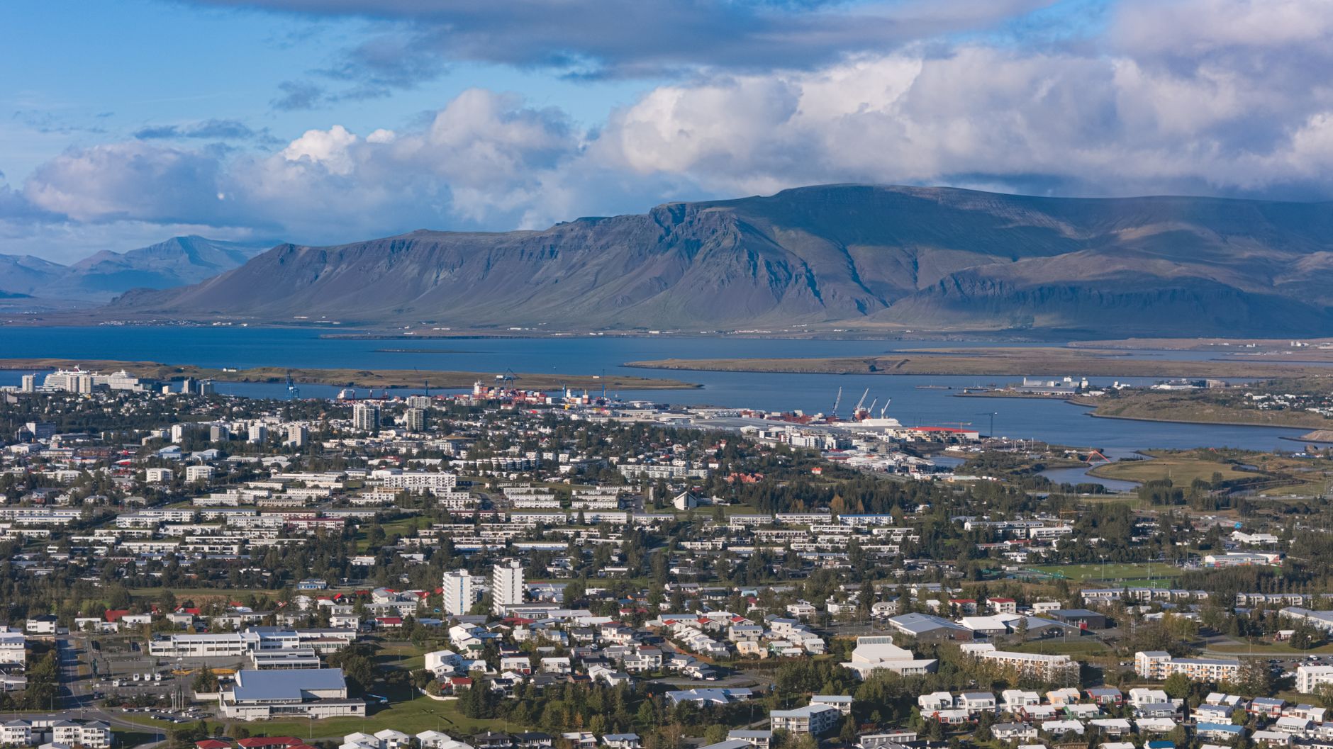
Iceland is a Nordic island country between the Arctic Ocean and the North Atlantic Ocean, located on the Mid-Atlantic Ridge between Europe and North America. It is Europe's westernmost and most sparsely populated country. Its capital and largest city is Reykjavík, which is home to about 35% of the country's roughly 395,000 residents. The official language of the country is Icelandic.
Auf Wikipedia lesenReisetipps
Iceland is a stunningly beautiful place if you enjoy strange and desolate landscapes interspersed with glaciers, volcanoes, rivers and waterfalls. It is a place for hiking, ice climbing, kayaking in glacial waters, and relaxing in geothermal hot springs, and there are many tours available for those looking for a less strenuous vacation.
Reiseführer auf WikivoyageDaten von Wikipedia, Wikivoyage & REST Countries
Top-Sehenswürdigkeiten in Island
Orte und Wahrzeichen, die man gesehen haben muss
 Mountain peaks
Gunnuhver
 Water
WaterÖxarárfoss
Öxarárfoss (Icelandic pronunciation: [ˈœksarˌaurˌfɔsː]) is a waterfall in Þingvellir National Park, Iceland. It flows from the river Öxará over the Almannagjá [ˈalˌmanːaˌcauː].
 Other
OtherThingvellir
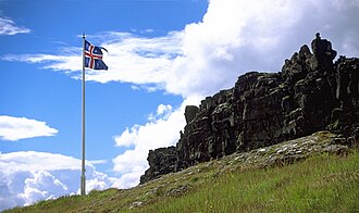
Þingvellir (Icelandic: [ˈθiŋkˌvɛtlɪr̥] (listen), anglicised as Thingvellir) was the site of the Alþing, the annual parliament of Iceland from the year 930 until the last session held at Þingvellir in 1798. Since 1881, the parliament has been located within Alþingishúsið in Reykjavík.
 Rock formations
Lögberg
Lögberg (Icelandic pronunciation: [ˈlœɣˌpɛrk]), or Law Rock, was a rocky outcrop in south west Iceland, at the location for the assembly of the country's Althing parliament.
 Mountain peaks
Brennisteinsfjöll
Brennisteinsfjöll (Icelandic pronunciation: [ˈprɛnːɪˌsteinsˌfjœtl̥], "Sulfur mountains") is a minor volcanic system, with crater rows and small shield volcanoes on the Reykjanes Peninsula in southwest Iceland.The mountain range is located at about 20 to 25 km (12 to 16 mi) from Reykjavík a…
 Mountain peaks
Keilir
Keilir (Icelandic pronunciation: [ˈcʰeiːlɪr̥]; 378 m asl) is a Pleistocene subglacial mound or perhaps a conical tuya on Reykjanes Peninsula in Iceland.
 Mountain peaks
Grensdalur
Grensdalur (Icelandic pronunciation: [ˈkrɛnsˌtaːlʏr̥]) is a volcano in Iceland. The elevation is about 497 m (1631 ft). Its position is 64.02°N 21.17°W. It was active during Pleistocene."Grensdalur". Global Volcanism Program. Smithsonian Institution. Retrieved 2021-06-25.
 Hot springs
Blue Lagoon
The Blue Lagoon (Icelandic: Bláa lónið [ˈplauːa ˈlouːnɪθ]) is a geothermal spa in southwestern Iceland. The spa is located in a lava field near Grindavík and in front of Mount Þorbjörn on Reykjanes Peninsula, in a location favourable for geothermal power, and is supplied by water used in…
 Religious Site
Strandarkirkja
Strandarkirkja (Icelandic pronunciation: [ˈstrantarˌcʰɪr̥ca]) is a Lutheran (Church of Iceland) parish church in Selvogur, on the southern coast of Iceland. The church is a landmark for travellers at sea.
 Mountain peaks
Hrómundartindur
Hrómundartindur (Icelandic pronunciation: [ˈr̥ouːˌmʏntarˌtʰɪntʏr̥]) is a volcano in Iceland. It is a stratovolcano with an elevation of 540 metres (1,770 ft).Hrómundartindur in the Catalogue of Icelandic Volcanoes
 Mountain peaks
Krýsuvík
The volcanic system of Krýsuvík (or Krísuvík, both pronounced [ˈkʰriːsʏˌviːk] in Icelandic), also Krýsuvík-Trölladyngja [ˈtʰrœtlaˌtiɲca] volcanic system, is situated in the southwest of Iceland on the Reykjanes peninsula.
 Mountain peaks
Sveifluháls
Sveifluháls (Icelandic pronunciation: [ˈsveiplʏˌhauls]) is a mafic hyaloclastite ridge of 397 m height in the southwest of Iceland in Gullbringusýsla (Reykjanes Peninsula).
Daten von OpenTripMap & OpenStreetMap
Entdecken Sie nahegelegene Ziele
Beliebte eSIM-Tarife in der gleichen Region







Warum unsere eSIM wählen?
Sofortige Aktivierung
Erhalte deinen eSIM QR-Code sofort nach dem Kauf.
Bleib verbunden
Highspeed-Daten in lokalen Netzwerken.
Keine versteckten Gebühren
Transparente Preise. Keine Überraschungen.