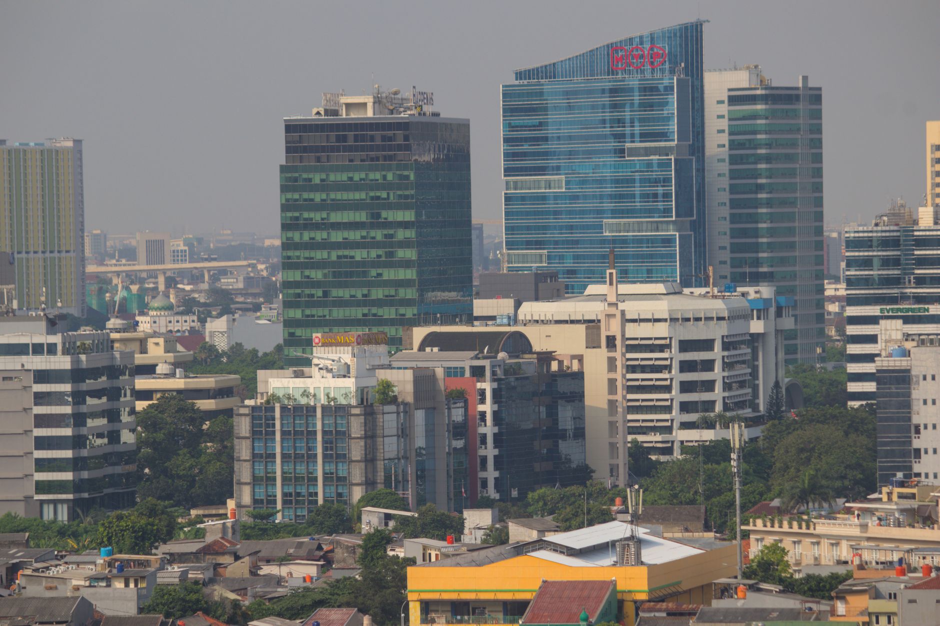

Indonesien
Hol dir sofortiges mobiles Datenvolumen mit unseren Premium-eSIM-Plänen. Keine physische SIM-Karte nötig, einfach scannen und loslegen.
6Verfügbare Pakete
ID 1 GB / 7 Days
5G
1 GB
Daten inklusive
7 Tage
Gültigkeitsdauer
Netzwerke
ID 3 GB / 30 Days
5G
3 GB
Daten inklusive
30 Tage
Gültigkeitsdauer
Netzwerke
ID 5 GB / 30 Days
5G
5 GB
Daten inklusive
30 Tage
Gültigkeitsdauer
Netzwerke
ID 10 GB / 30 Days
5G
10 GB
Daten inklusive
30 Tage
Gültigkeitsdauer
Netzwerke
ID 20 GB / 30 Days
5G
20 GB
Daten inklusive
30 Tage
Gültigkeitsdauer
Netzwerke
ID 50 GB / 30 Days
5G
50 GB
Daten inklusive
30 Tage
Gültigkeitsdauer
Netzwerke
Entdecke Indonesien
Überblick
Indonesia, officially the Republic of Indonesia, is a country in Southeast Asia and Oceania, between the Indian and Pacific oceans. Comprising about 17,000 islands, including Sumatra, Java, Sulawesi, and parts of Borneo and New Guinea, Indonesia is the world's largest archipelagic state and the 14th-largest country by area, at 1,904,569 square kilometres. Indonesia has significant areas of wilderness that support one of the world's highest levels of biodiversity.
Auf Wikipedia lesenReisetipps
Indonesia is a huge archipelago of diverse islands scattered over both sides of the Equator between the Indian Ocean and the Pacific Ocean. With extensive rainforests on its 17,000 islands, Indonesia is nicknamed The Emerald of the Equator. Indonesia's best known tourist destination is Bali, but with 6,000 inhabited islands, tourists have a wealth of diversity to explore.
Reiseführer auf WikivoyageDaten von Wikipedia, Wikivoyage & REST Countries
Top-Sehenswürdigkeiten in Indonesien
Orte und Wahrzeichen, die man gesehen haben muss
 Mountain peaks
Halimun
Mount Halimun (Indonesian: Gunung Halimun) is a mountain in the island of Java, Indonesia. It is protected by the Mount Halimun Salak National Park.Mount Halimun is in the volcanic belt of the Bandung Zone. It is a stratovolcano formed during the Pleistocene.
 Historic
Cibuaya
 Religious Site
Pura Parahyangan Jagadkarta Gunung Salak Bogor
Pura Parahyangan Agung Jagatkarta ("the perfect divine nature") or often referred to simply as Pura Jagatkarta is a Hindu temple of Nusantara located in Ciapus village, Tamansari subdistrict, Bogor Regency, West Java, Indonesia.
 Railway stations
Stasiun Karawang
Karawang Station (KW) is a class I railway station located in Nagasari, West Karawang, Karawang Regency. The station, which is located at an altitude of +16 m, is included in the Operation Area I Jakarta and is the station that is located in the westernmost of Karawang Regency.At this station there…
 Historic
Istana Batutulis
The Batutulis inscription is an ancient Sunda Kingdom inscription dated 1533, located at Batutulis village, South Bogor, West Java.
 Other
OtherPanamanian dry forests
The Panamanian dry forests ecoregion (WWF ID:NT0224) covers low-lying dry forests around the coast of the Gulf of Panama on the Pacific Ocean side of Panama. It is one of the most heavily degraded ecoregions in Central America, having been heavily converted to agriculture.
 Other
OtherWestern Java rain forests
The Western Java rain forests ecoregion (World Wildlife Fund ID:IM0168) covers the lowland rain forests below 1,000 meters in elevation in the western half of the island of Java in Indonesia.
 Science museums
Museum Zoologi
Bogor Zoology Museum is a museum located to the next of the main entrance of the Bogor Botanical Gardens in the city of Bogor, Indonesia. The museum and its laboratory were founded in 1894 by government of Dutch East Indies during the colonial era.
 Palaces
Bogor Palace
The Bogor Palace (Indonesian: Istana Bogor, Dutch: Het Paleis te Buitenzorg) is one of six Presidential Palaces of Indonesia, it is located in the city of Bogor, West Java. The palace is noted for its distinctive architectural and historical features, as well as the adjoining botanical gardens.
 Urban
UrbanRagunan Zoo
Ragunan Zoo (Indonesian: Kebun Binatang Ragunan) is a zoo located in Pasar Minggu, South Jakarta, Indonesia. The zoo has an area of 140-hectare (350-acre). The zoo has an aviary and a primate centre, and employs over 450 people.
 Railway stations
Klender Baru
Klender Baru Station (KLDB) is a class II railway station located in Penggilingan, Cakung, East Jakarta. The station, which is located at an altitude of +11 meters, is included in the Operation Area I Jakarta and only serves the KRL Commuterline route. This station now has four railway tracks.
 Railway stations
Stasiun Tanjung Priuk
Tanjung Priuk Station (TPK), is a railway station in Tanjung Priok, Tanjung Priok, North Jakarta. It is located across the Tanjung Priok Port, which is the main port of Jakarta. This station is one of the oldest in Jakarta and the biggest station built during the Dutch East Indies era.
Daten von OpenTripMap & OpenStreetMap
Entdecken Sie nahegelegene Ziele
Beliebte eSIM-Tarife in der gleichen Region


Warum unsere eSIM wählen?
Sofortige Aktivierung
Erhalte deinen eSIM QR-Code sofort nach dem Kauf.
Bleib verbunden
Highspeed-Daten in lokalen Netzwerken.
Keine versteckten Gebühren
Transparente Preise. Keine Überraschungen.