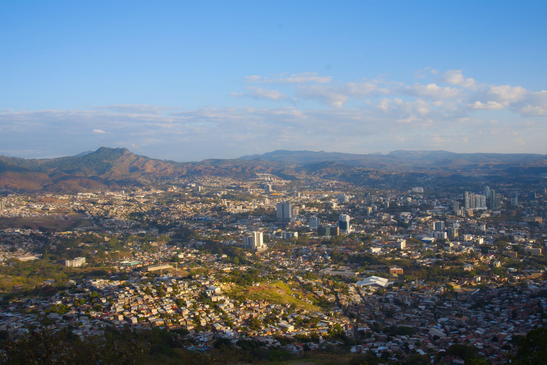

Honduras
Hol dir sofortiges mobiles Datenvolumen mit unseren Premium-eSIM-Plänen. Keine physische SIM-Karte nötig, einfach scannen und loslegen.
5Verfügbare Pakete
HN 1 GB / 7 Days
4G/LTE
1 GB
Daten inklusive
7 Tage
Gültigkeitsdauer
Netzwerk
HN 3 GB / 30 Days
4G/LTE
3 GB
Daten inklusive
30 Tage
Gültigkeitsdauer
Netzwerk
HN 5 GB / 30 Days
4G/LTE
5 GB
Daten inklusive
30 Tage
Gültigkeitsdauer
Netzwerk
HN 10 GB / 30 Days
4G/LTE
10 GB
Daten inklusive
30 Tage
Gültigkeitsdauer
Netzwerk
HN 20 GB / 30 Days
4G/LTE
20 GB
Daten inklusive
30 Tage
Gültigkeitsdauer
Netzwerk
Entdecke Honduras
Überblick
Honduras, officially the Republic of Honduras, is a country in Central America. It is bordered to the west by Guatemala, to the southwest by El Salvador, to the southeast by Nicaragua, to the south by the Pacific Ocean at the Gulf of Fonseca, and to the north by the Gulf of Honduras, a large inlet of the Caribbean Sea. Its capital and largest city is Tegucigalpa.
Auf Wikipedia lesenReisetipps
Honduras has colonial villages, ancient Maya ruins (Copán), natural parks (Moskitia), and a Pacific and Caribbean coastline and the Bay Islands, with great beaches and coral reefs where snorkeling and diving are exceptional by any standard.
Reiseführer auf WikivoyageDaten von Wikipedia, Wikivoyage & REST Countries
Top-Sehenswürdigkeiten in Honduras
Orte und Wahrzeichen, die man gesehen haben muss
 Urban
UrbanLancetilla Botanical Garden
Lancetilla Botanical Garden is a botanical garden and significant tourist attraction located on the coast of the Caribbean Sea, in the north of the Republic of Honduras, about 7 km southeast of the city of Tela.
 Mountain peaks
Taburete
Taburete is a stratovolcano in central El Salvador, rising above the coastal plain between the San Vicente and San Miguel volcanoes, and just west of Usulután volcano.
 Fortifications
Fuerte San Cristóbal
 Architecture
Cuscatlán Bridge
The Cuscatlán Bridge (Spanish: Puente Cuscatlán) was a suspension bridge which spanned across the Lempa River in El Salvador.
 Mountain peaks
Usulután
Usulután is a stratovolcano in central El Salvador, rising above the coastal plain between the San Vicente and San Miguel volcanoes, and just east of Taburete volcano.
 Mountain peaks
Tecapa
Tecapa is a complex stratovolcano in central El Salvador.List of volcanoes in El Salvador List of stratovolcanoes"Tecapa". Global Volcanism Program. Smithsonian Institution.
 Mountain peaks
Isla del Tigre
El Tigre is an island located in the Gulf of Fonseca, a body of water on the Pacific coast of Central America. The island is a conical basaltic stratovolcano and the southernmost volcano in Honduras. It belongs to Valle department.
 Other
OtherGulf of Fonseca mangroves
The Gulf of Fonseca mangroves ecoregion (WWF ID:NT1412) covers the brackish mangrove forests around the Gulf of Fonseca on the Pacific Ocean. The Gulf is the meeting point El Salvador, Honduras, and Nicaragua.
 Landmark
Holy Spirit Grotto
The Holy Spirit Grotto (La Gruta del Espíritu Santo in Spanish), also known as Corinto Cave, in Corinto, Morazán, El Salvador, is a registered national monument of petroglyphs. The cave is largely associated with the Xibalba legend.
 Historic
Joya de Cerén
Joya de Cerén (Jewel of Cerén in the Spanish language) is an archaeological site in La Libertad Department, El Salvador, featuring a pre-Columbian Maya farming village.
 Battlefields
Battle of Ocotal
The Battle of Ocotal occurred in July 1927, during the American occupation of Nicaragua. A large force of rebels loyal to Augusto César Sandino attacked the garrison of Ocotal, which was held by a small group of US Marines and Nicaraguan National Guards.
 Nature
Somoto Canyon
Somoto Canyon National Monument (Spanish: Monumento Nacional Cañón de Somoto) is a canyon located in the Madriz Department of Nicaragua.
Daten von OpenTripMap & OpenStreetMap
Entdecken Sie nahegelegene Ziele
Beliebte eSIM-Tarife in der gleichen Region


Warum unsere eSIM wählen?
Sofortige Aktivierung
Erhalte deinen eSIM QR-Code sofort nach dem Kauf.
Bleib verbunden
Highspeed-Daten in lokalen Netzwerken.
Keine versteckten Gebühren
Transparente Preise. Keine Überraschungen.