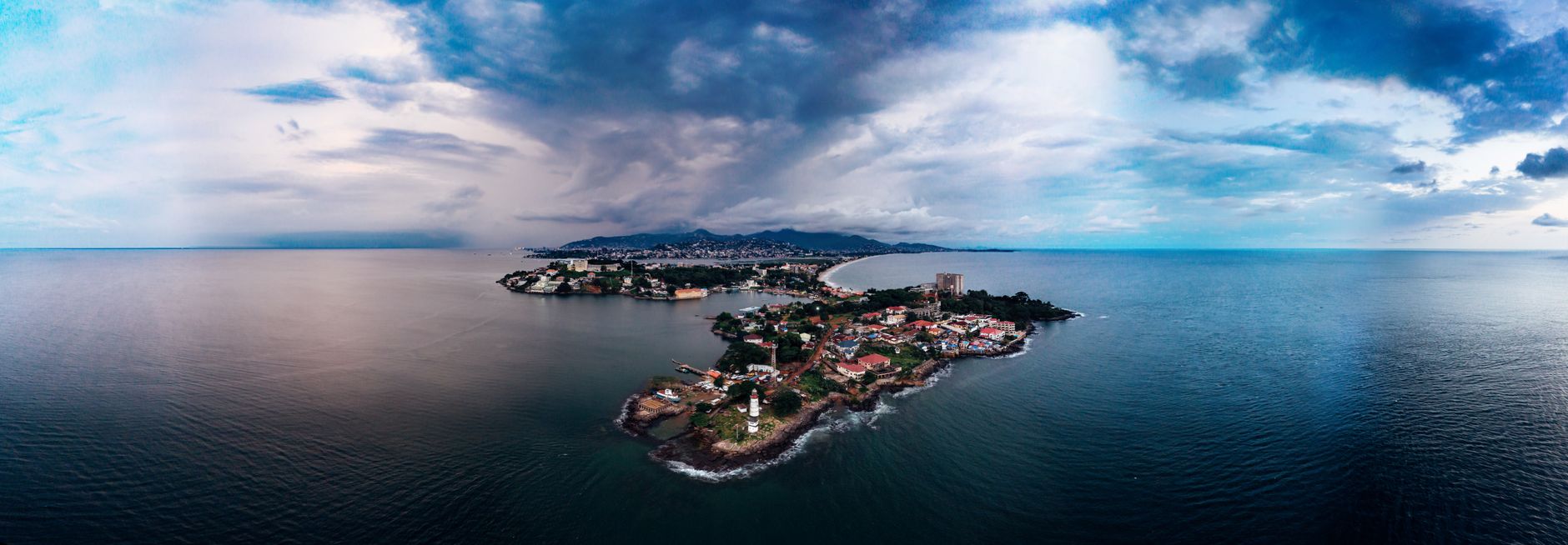

Guinea
Hol dir sofortiges mobiles Datenvolumen mit unseren Premium-eSIM-Plänen. Keine physische SIM-Karte nötig, einfach scannen und loslegen.
5Verfügbare Pakete
GN 1 GB / 7 Days
4G/LTE
1 GB
Daten inklusive
7 Tage
Gültigkeitsdauer
Netzwerk
GN 3 GB / 30 Days
4G/LTE
3 GB
Daten inklusive
30 Tage
Gültigkeitsdauer
Netzwerk
GN 5 GB / 30 Days
4G/LTE
5 GB
Daten inklusive
30 Tage
Gültigkeitsdauer
Netzwerk
GN 10 GB / 30 Days
4G/LTE
10 GB
Daten inklusive
30 Tage
Gültigkeitsdauer
Netzwerk
GN 20 GB / 30 Days
4G/LTE
20 GB
Daten inklusive
30 Tage
Gültigkeitsdauer
Netzwerk
Entdecke Guinea
Überblick
Guinea, officially the Republic of Guinea, is a coastal country located in West Africa. It borders the Atlantic Ocean to the west, Guinea-Bissau to the northwest, Senegal to the north, Mali to the northeast, Ivory Coast to the southeast, and Sierra Leone and Liberia to the south. It is sometimes referred to as Guinea-Conakry, after its capital Conakry, to distinguish it from other territories in the eponymous region, such as Guinea-Bissau and Equatorial Guinea.
Auf Wikipedia lesenReisetipps
Guinea is a former French colony in West Africa. Guinea has some spectacular landscapes with a few tropical, dry forests remaining, and the rainforests in the south are lush, verdant and full of wildlife — much of it destined for the cooking pot.
Reiseführer auf WikivoyageDaten von Wikipedia, Wikivoyage & REST Countries
Top-Sehenswürdigkeiten in Guinea
Orte und Wahrzeichen, die man gesehen haben muss
 Historic
Joseph Jenkins Roberts Monument
 Religious Site
Roman Catholic Diocese of Tambacounda
The Roman Catholic Diocese of Tambacounda (Latin: Tambacundan(us)) is a diocese located in the city of Tambacounda in the Ecclesiastical province of Dakar in Senegal.August 13, 1970: Established as Apostolic Prefecture of Tambacounda from the Diocese of Kaolack and Diocese of Saint-Louis du Sénéga…
 Park
ParkCacheu Mangroves Natural Park
The Cacheu River Mangroves Natural Park (Portuguese: Parque Natural dos Tarrafes do Rio Cacheu) is a national park situated on the Cacheu River in Guinea-Bissau. It was established on 1 December 2000. This site is 886 km2.
 Fortifications
Cacheu
Cacheu is a town in northwestern Guinea-Bissau, lying on the Cacheu River. Its population was estimated to be 9,849 as of 2008.The town of Cacheu is situated in territory of the Papel people. The name is of Bainuk origin: "i.e. Caticheu, meaning 'the place where we rest'."
 Park
ParkNational Park of Upper Niger
The National Park of Upper Niger is a national park in Guinea that was gazetted in January 1997 with a core area of 554 km2 (214 sq mi). The park protects important tracts of forest and savannah, and is considered a conservation priority for West Africa as a whole.
 Park
ParkOutamba-Kilimi National Park
Outamba-Kilimi National Park is located in northwest Sierra Leone near the border with the Republic of Guinea. The park is divided into two areas, Outamba (741 km²) and Kilimi (368 km²). The area became a game reserve in 1974, and was formally gazetted as a National Park in October 1995.
 Other
OtherThe Cotton Tree
The Cotton Tree is a Ceiba pentandra, also known commonly as a kapok tree, a historic symbol of Freetown, the capital city of Sierra Leone.
 National museums
National Museum
The Sierra Leone National Museum is the national museum of Sierra Leone. The museum is located at the junction of Siaka Stevens Street and Pademba Road in central Freetown, the capital of the country.
 Religious Site
St. John's Maroon Church
St. John's Maroon Church is a Methodist church located in Maroon Town, a district of Freetown, the capital of Sierra Leone.
 Cemeteries
Circular Road Cemetery
Circular Road Cemetery is a cemetery located in Freetown, Sierra Leone. It was opened in 1827. Urban expansion had meant that the old burial ground at the south end of Howe Street had become surrounded by houses and so could not be enlarged.
 Museum
Sierra Leone National Railway Museum
The National Railway Museum is a railway museum in Freetown, Sierra Leone. The museum was opened in 2005.The Sierra Leone Government Railway closed in 1974. A collection of rolling stock was retained at the former railway workshops to form a museum.
 Park
ParkLake Sonfon National Park
Lake Sonfon, also known as Lake Confon, is a fresh water mountain lake in Diang, Sierra Leone of religious and cultural significance. The nearest towns are Kabala that is 60 km to the north and Benugu that is 40 km to the south.
Daten von OpenTripMap & OpenStreetMap
Entdecken Sie nahegelegene Ziele
Beliebte eSIM-Tarife in der gleichen Region


Warum unsere eSIM wählen?
Sofortige Aktivierung
Erhalte deinen eSIM QR-Code sofort nach dem Kauf.
Bleib verbunden
Highspeed-Daten in lokalen Netzwerken.
Keine versteckten Gebühren
Transparente Preise. Keine Überraschungen.