
Bhutan
Hol dir sofortiges mobiles Datenvolumen mit unseren Premium-eSIM-Plänen. Keine physische SIM-Karte nötig, einfach scannen und loslegen.
3Verfügbare Pakete
BT 512 MB / 7 Days
4G/LTE
512 MB
Daten inklusive
7 Tage
Gültigkeitsdauer
Netzwerk
BT 3 GB / 30 Days
4G/LTE
3 GB
Daten inklusive
30 Tage
Gültigkeitsdauer
Netzwerk
BT 5 GB / 30 Days
4G/LTE
5 GB
Daten inklusive
30 Tage
Gültigkeitsdauer
Netzwerk
Entdecke Bhutan
Überblick
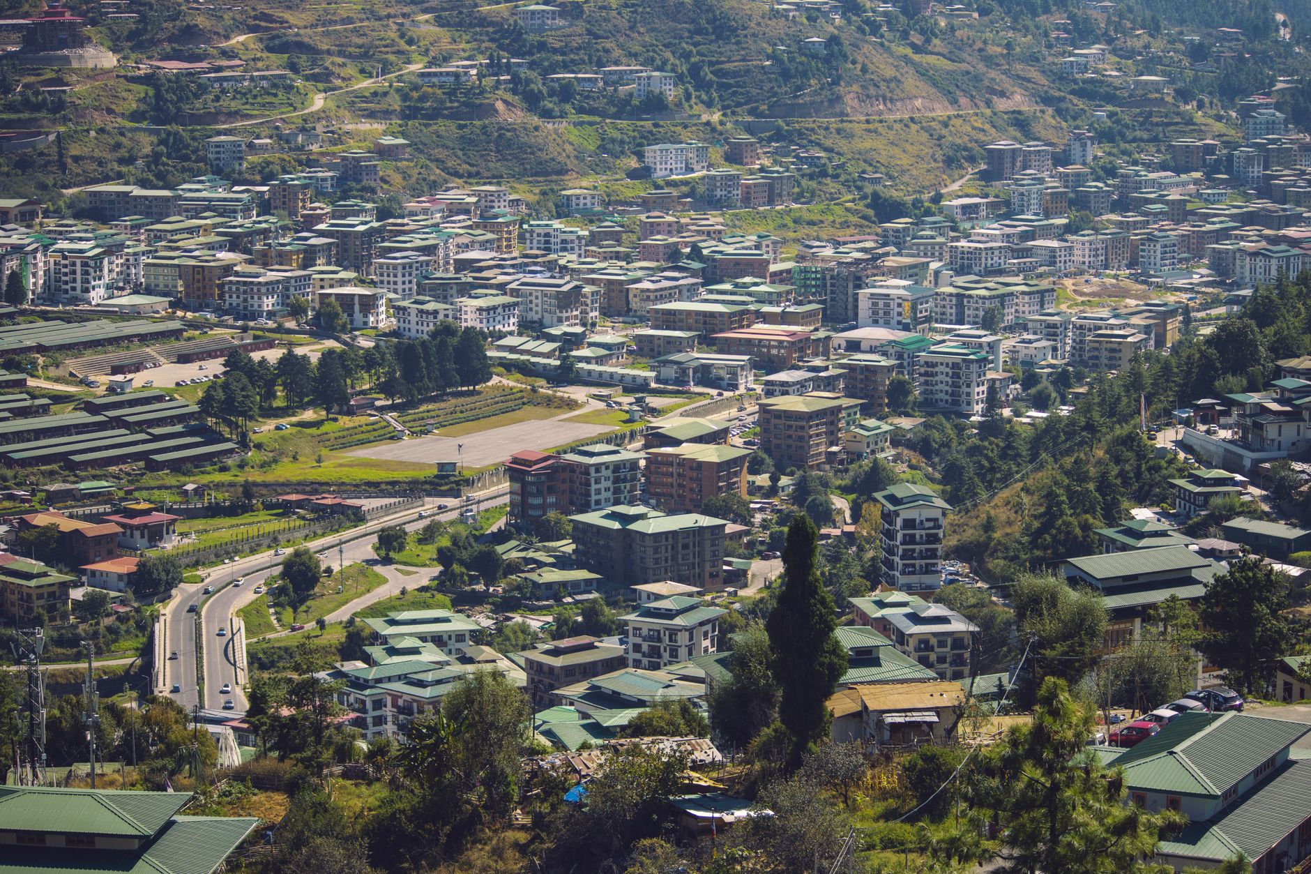
Bhutan, officially the Kingdom of Bhutan, is a landlocked country in South Asia, located in the Eastern Himalayas, bordering China to the north and northwest and India to the south and southeast. With a population of over 800,000 (800,871) and a territory of 38,394 square kilometres (14,824 sq mi), Bhutan ranks 133rd in land area and 160th in population. It is a democratic constitutional monarchy with a King as the head of state and a prime minister as the head of government.
Auf Wikipedia lesenReisetipps
The Kingdom of Bhutan is a small country in the Himalayas between Tibet and India. Besides the stunning natural scenery, the enduring image of the country for most visitors is the strong sense of culture and tradition that binds the kingdom and clearly distinguishes it from its larger neighbours. Bhutan is a bastion of Vajrayana Buddhism, and the profound teachings of this tradition remain well preserved and exert a strong influence in all aspects of life.
Reiseführer auf WikivoyageDaten von Wikipedia, Wikivoyage & REST Countries
Top-Sehenswürdigkeiten in Bhutan
Orte und Wahrzeichen, die man gesehen haben muss
 Mountain peaks
Kartse
 Architecture
Taktsé Castle
Taktsé Castle (Tibetan: སྟག་རྩེ་, Wylie: Stag-rtse) was a castle located in the Chingwa (Wylie: Phying-ba) district of Chonggyä (Wylie: Phyongs-rgyas) in central Tibet.
 Religious Site
Oesel Choeling Monastery
Oesel Choeling Monastery is a Buddhist monastery in Bhutan. It is located in the village of Rangjung, on the left bank of the Gamri Chhu, approximately 16 kilometres from Trashigang. The monastery was built in 1990 by Garab Rinpoche.
 Religious Site
Chini Mosque
Chini Mosque (Bengali: চিনি মসজিদ, Urdu: چنی مسجد) is located in Saidpur city of Nilphamari district in Rangpur Division of Bangladesh. The mosque is also known as Glass Mosque.
 Religious Site
Ngor
Ngor or Ngor Éwam Chöden (Tibetan: ངོར་ཨེ་ཝམ་ཆོས་ལྡན།, Chinese: 鄂尔艾旺却丹寺) is the name of a monastery in the Ü-Tsang province of Tibet about 20 kilometres (12 mi) southwest of Shigatse and is the Sakya school's second most important gompa.
 Urban
UrbanLloyd Botanical Garden (Fulbari)
Lloyd's Botanical Garden, or Darjeeling Botanical Garden, is a botanical garden in Darjeeling in the Indian state of West Bengal.Lloyd's Botanical Garden was established in 1878 when 40 acres (160,000 m2) of land was acquired at Darjeeling to form a botanic garden as a distant annexe of the Calcutta…
 Nature
Senchal WLS
Senchal Wildlife Sanctuary was set up in 1915 in the Darjeeling District of West Bengal, India.Senchal Wildlife Sanctuary is located at 26°59′38″N 88°15′55″E.It is one of the oldest wildlife sanctuaries of India and covers an area of 38.6 km2 (14.9 sq mi).
 Religious Site
Bhutia Busty monastery
Bhutia Busty monastery or Karma Dorjee Chyoling monastery is a Buddhist monastery located in Bhutia Busty, Darjeeling district, India. It belongs to the Red Sect of Buddhist Lamas.
 Nature
Zemu Glacier
Zemu Glacier is the largest glacier in the Eastern Himalaya. It is about 26 kilometres (16 mi) in length and is located at the base of Kangchenjunga in the Himalayan region of Sikkim, India. The Zemu Glacier drains the east side of Kanchenjunga, the world's third highest mountain.
 Religious Site
Tashi Gomang Shedra Buddhist Monastery
Salugara Monastery is a Buddhist shrine on the outskirts of Siliguri in the State of West Bengal, India. The Monastery is located 6 km from the city.
 Mountain peaks
Liankang Kangri
Liangkang Kangri (also known as Gangkhar Puensum North and Liankang Kangri) is a mountain peak in the Himalayas on the border between Bhutan and China, as well as at the southeastern end of territory claimed by both countries. Liangkang Kangri is 7,535 metres (24,721 ft) high.
 Mountain peaks
Gangkhar Puensum
Gangkhar Puensum (Dzongkha: གངས་དཀར་སྤུན་གསུམ་ Kangkar Punsum, alternatively, Gangkar Punsum or Gankar Punzum) is the highest mountain in Bhutan and the highest unclimbed mountain in the world, with an elevation of 7,570 metres (24,836 ft) and a prominence of 2,99…
Daten von OpenTripMap & OpenStreetMap
Entdecken Sie nahegelegene Ziele
Beliebte eSIM-Tarife in der gleichen Region


Warum unsere eSIM wählen?
Sofortige Aktivierung
Erhalte deinen eSIM QR-Code sofort nach dem Kauf.
Bleib verbunden
Highspeed-Daten in lokalen Netzwerken.
Keine versteckten Gebühren
Transparente Preise. Keine Überraschungen.